The Transit Network Decoupling Protocol: Mastering City Navigation Without Apps
The Philosophy of Offline Navigation
In an era of hyper-connectivity, we have become dangerously reliant on real-time transit apps to guide us through urban environments. When the connection drops, the phone dies, or the algorithm misinterprets a temporary service disruption, the average traveler is left stranded. The Transit Network Decoupling Protocol is a method for internalizing a city's logic, transforming you from a passive passenger into an active navigator who understands the underlying geography of the transit system.
By learning to read the physical infrastructure rather than the digital interface, you gain a sense of agency that apps simply cannot provide. This protocol is about recognizing the 'skeleton' of a city—the major arterial lines and terminal hubs—which rarely change, even when the daily schedules do.
Phase 1: The Arterial Mapping Exercise
Before you even step foot on a platform, you must perform an arterial audit. Most complex transit systems are built around a few high-capacity backbone lines. Ignore the peripheral bus routes and localized stops for a moment. Identify the two or three lines that cut through the city center and connect major landmarks.
- Identify the 'Cardinal Hubs': Look for stations where three or more lines intersect.
- Trace the 'End-of-Line' terminals: Knowing the final destination of a line is more useful than knowing the stop names in between.
- Memorize the 'Transfer Nodes': Know exactly where you can switch from a primary line to a secondary one.
The goal is not to memorize every stop, but to understand the transit system as a series of connected zones rather than a list of individual stations.
Phase 2: Decoding Physical Wayfinding Systems
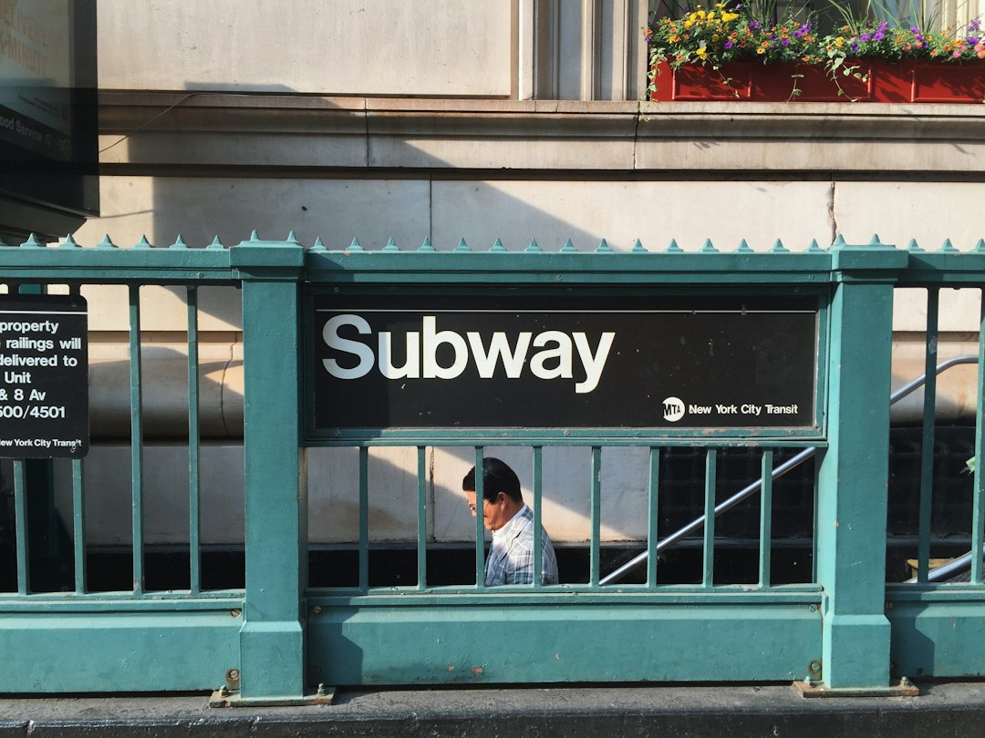
Transit authorities invest millions in signage, yet most travelers ignore it in favor of their screens. Every major city uses a consistent visual language to direct flow. Look for color-coding, line icons, and directional signage that exists independent of mobile data. If you are in a subway station, the walls are covered in information that reveals the system's logic.
Take note of the 'Line Color' and 'Terminal Direction' signs. In almost every major transit system, you do not need to know the name of your specific stop to get on the right train; you only need to know the final station at the end of the line you are traveling toward. This is the most common mistake travelers make: focusing on the middle of the route instead of the destination of the line.
Phase 3: The Contingency Buffer Strategy
Even with the best preparation, unexpected disruptions occur. You need a physical fail-safe. Download a high-resolution PDF map of the entire transit system while on stable Wi-Fi. Do not rely on an interactive web map. A static image allows you to visualize the entire network at once, which is impossible on a zoomed-in phone screen.
If you find yourself lost, do not panic and look at your phone. Instead, find a 'System Map' board. These are usually located at station entrances or platforms. They provide a bird's-eye view of the network. If the route you planned is blocked, scan the map for a parallel line or a different transfer hub. This visual scan helps you maintain context, something a turn-by-turn navigation prompt often strips away.
Common Pitfalls and Pro-Tips
The most frequent error is 'over-planning,' where you attempt to map every single transfer. This leads to decision fatigue. Instead, plan only the first two legs of your journey. Once you arrive at the first transfer point, re-orient yourself using the physical signage. This keeps your focus on the immediate environment.
- Carry a physical map or a screenshot saved to your photos, not a web-based app.
- Always look for the 'Exit' signs early; they often show a list of landmarks or streets near that specific exit, which helps you surface at the right point.
- Observe the locals; if they are all moving toward a specific platform, it is usually because the main train is arriving or there is a service disruption on the other side.
By shifting your reliance from an algorithm to your own spatial awareness, you remove the anxiety of travel. When you understand the city as a map rather than a series of prompts, you stop being a tourist and start participating in the rhythm of the city. Use this protocol to move with confidence, knowing that you are never truly lost as long as you can read the signs.