The Hyper-Local Neighborhood Mapping Protocol: Mastering Your Surroundings
Turn your routine commute into a deep exploration by creating a personal, annotated map of your immediate environment.
Why Map Your Immediate World?
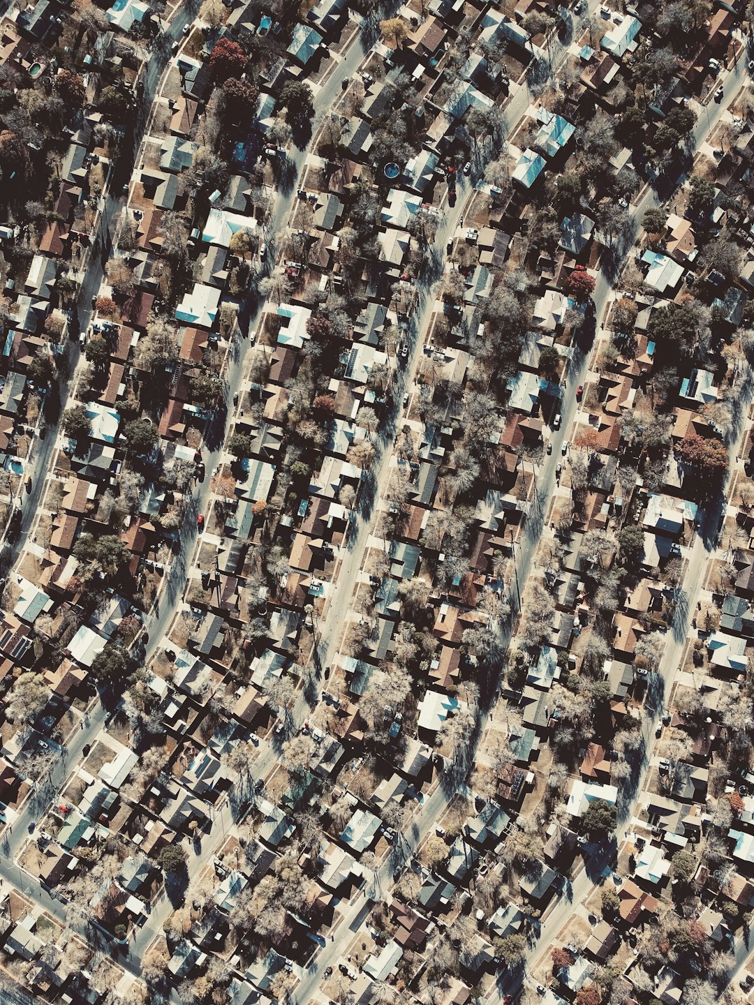
Most of us live in a state of 'functional blindness.' We navigate our neighborhoods via GPS and muscle memory, moving from point A to point B without ever truly seeing the spaces in between. This hyper-local mapping protocol is designed to pull you out of the autopilot mode. By actively documenting your surroundings, you transform a generic residential zone into a rich, personal geography. This isn't just about finding the best coffee shop; it is about uncovering hidden paths, noting architectural quirks, and identifying the micro-rhythms of your community. When you know your environment intimately, you feel more rooted, secure, and observant of the small changes that make life interesting.
Phase 1: The Raw Data Collection Walk
The first step is a 'blind' exploration. Leave your phone in your pocket or, better yet, at home. Bring a small physical notebook and a pen. Walk every street within a ten-block radius of your home. Your goal is not to reach a destination, but to note the textures of the area. Look for things that aren't on Google Maps: the house with the unusual garden, the shortcut through an alleyway, the bench that captures the perfect sunset light, or the mural that is slowly fading.
- Note the 'edge cases': Where does your neighborhood end and the next begin?
- Record sensory details: Does a specific street smell like jasmine in the spring? Is there a corner that is always ten degrees cooler due to the shade?
- Document infrastructure: Identify where the street lights are broken or where the sidewalk ends abruptly.
To truly know a place, you must be willing to walk the same block at three different times of the day. The morning light reveals the transit patterns of commuters, while the evening shadows highlight the social hubs of the neighborhood.
Phase 2: The Annotated Cartography Process
Once you have gathered your raw notes, it is time to synthesize them into a personal map. You can use a printed physical map of your town, a blank sheet of grid paper, or a digital tool like a custom Google My Maps layer. The key is to add your own layers of data. Do not just label streets; label experiences. Mark the 'Quiet Zones' where traffic noise disappears. Mark the 'Social Anchors' where neighbors congregate. Mark the 'Hidden Gems' like a community fruit tree or a particularly well-maintained library box.
Specific Mapping Categories
- The Social Nodes: Where do people actually stop to talk?
- The Sensory Markers: Areas with specific acoustic or olfactory signatures.
- The Transit Nuances: Pedestrian shortcuts that bypass busy intersections.
- The Historical Layers: Does a local building have a plaque or a story behind its architecture?
Phase 3: The Maintenance and Engagement Cycle
A map is a living document. Your neighborhood is not static, and your map shouldn't be either. Commit to updating your map once a quarter. Did a new shop open? Did a tree fall down after a storm? Did a neighbor change their landscaping? By treating your environment as a dynamic entity, you stay engaged with your physical reality. This practice also makes you a better neighbor; you become the person who knows exactly where to find the best local produce or the most reliable path to the park during construction.
Common mistakes often include trying to map too large of an area at once. Start small—just five blocks. If you try to map your entire city, the project will quickly become a chore rather than a delight. Keep it hyper-local. Focus on the mundane details that others ignore. If you find yourself getting bored, change your modality: walk the route at night with a flashlight, or try to navigate the area only using landmarks rather than street names.
By investing time into this protocol, you reclaim your agency within your own habitat. You stop being a passive resident and become an active participant in your local ecosystem. Over time, your mental model of your neighborhood will shift from a series of disconnected errands to a cohesive, meaningful landscape that you can navigate with both your feet and your heart.