Amateur Light Pollution Mapping: A Practical Guide to Finding Dark Skies
Why Map Light Pollution?
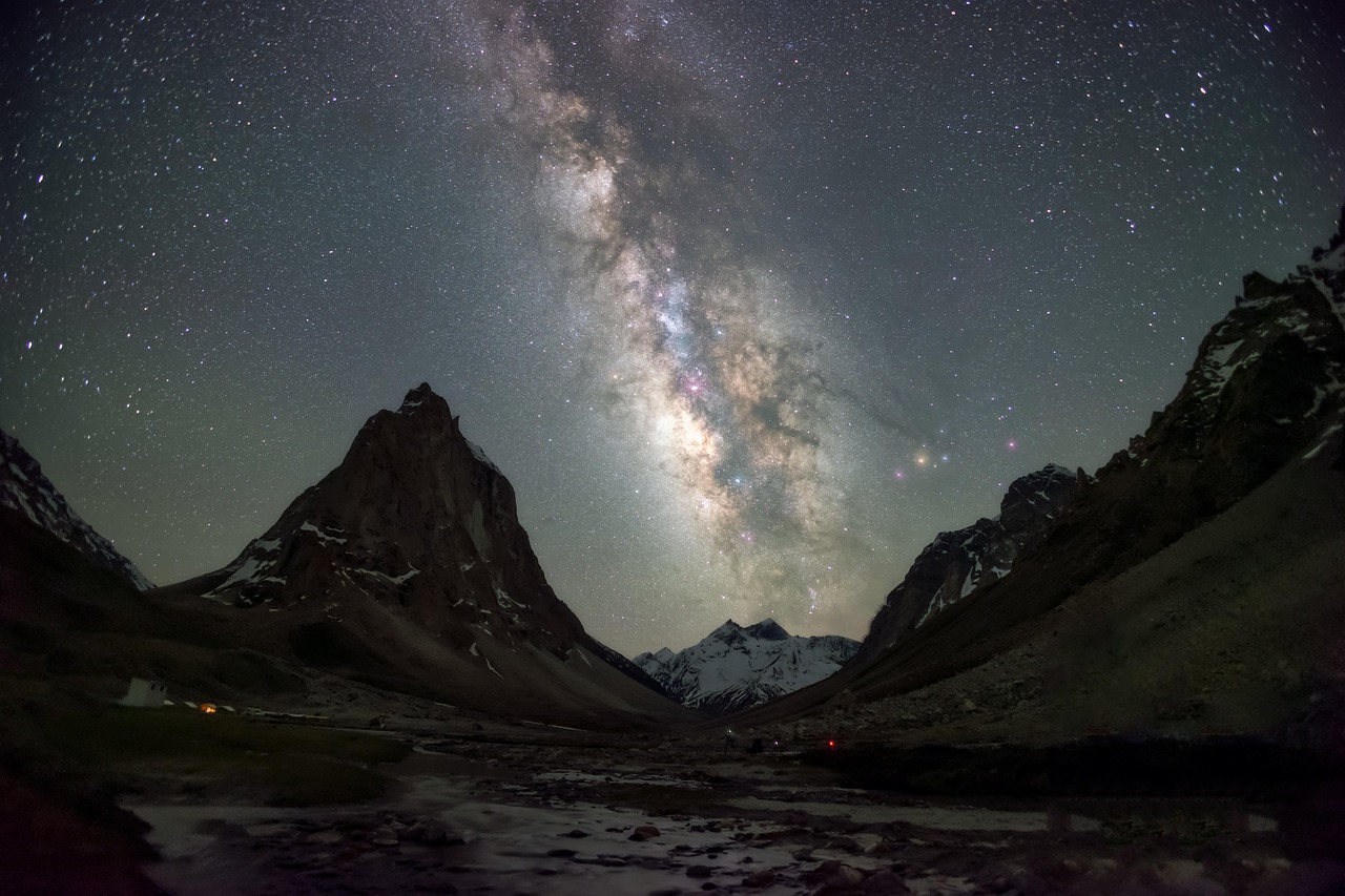
In our modern era, witnessing a truly dark, star-filled sky has become a rare privilege. Light pollution—the excessive and misdirected use of artificial light—affects not only astronomers but also local ecosystems and human circadian rhythms. By creating your own light pollution map, you gain the ability to identify the best stargazing locations near you while building a deeper understanding of how light impacts your local environment.
Mapping light pollution is fundamentally about measuring sky brightness. By using simple observational techniques and readily available data, you can create a detailed map of your neighborhood or rural surroundings. This is a scientific pursuit accessible to anyone, requiring no expensive equipment, only patience and a clear night sky.
Essential Tools and Preparation
You do not need sophisticated photometers to begin. The most effective method for amateur mapping is utilizing the Bortle Scale. This is a nine-level numerical scale that measures the night sky's brightness, ranging from Class 1 (an excellent dark-sky site) to Class 9 (inner-city sky). You will need a smartphone with GPS capabilities, a red-light flashlight to preserve your night vision, and a notebook or a digital mapping app.
- The Bortle Scale reference table.
- A red-light flashlight (essential for maintaining dark adaptation).
- A digital map interface or a printed map of your local area.
Step-by-Step Mapping Instructions
Begin your mapping during the new moon phase to ensure minimal natural light interference. Select 5 to 10 observation points across your region, varying from urban centers to remote outskirts. At each location, spend at least 20 minutes allowing your eyes to adjust to the dark before performing your assessment.
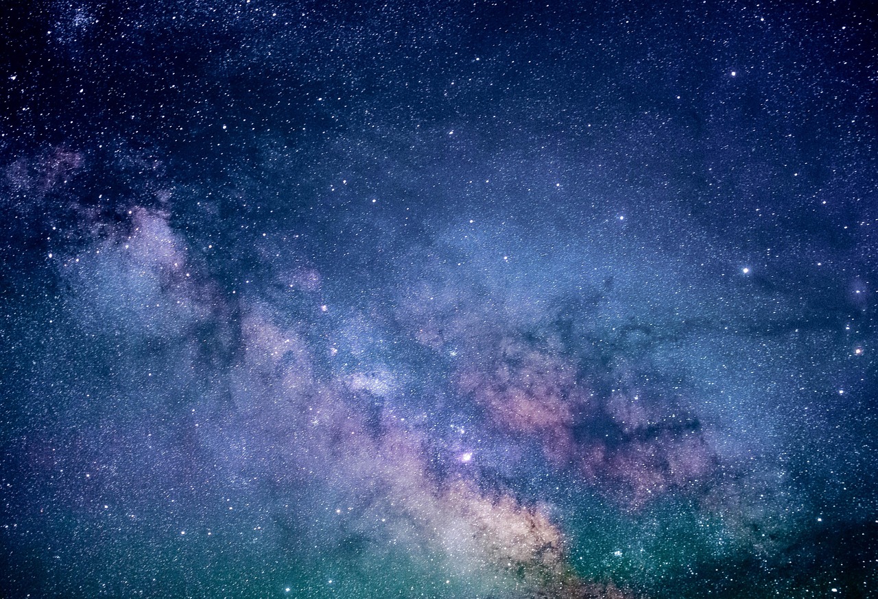
Light pollution doesn't just obscure the Milky Way; it disrupts the migratory patterns of birds and the hunting cycles of nocturnal animals, making your mapping efforts a valuable contribution to local conservation awareness.
Record your observations in a structured format, such as a spreadsheet. Include coordinates, date, time, and your assigned Bortle Class. To estimate the class, look for specific reference constellations like Ursa Minor or Orion and note how many stars are visible within them compared to your reference guide.
Common Mistakes and Expert Tips
Avoid taking measurements immediately after precipitation or during high-humidity nights, as atmospheric moisture scatters artificial light, creating the illusion of a brighter sky than truly exists. Always prioritize safety: observe from public-access areas, inform someone of your location, and never trespass on private property to get a "better view."
The final step is to cross-reference your findings with existing open-source resources like the Light Pollution Map website. By comparing your observations with satellite-derived data, you can refine your understanding of local light domes. Sharing your findings with local astronomy clubs or conservation groups can even help advocate for smarter, shielded outdoor lighting in your community.